68°12’N, 31°23’W
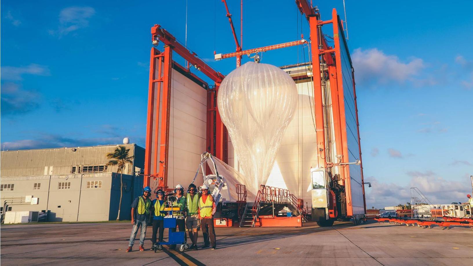
Global (and beyond)
supporting a network of stratospheric internet balloons.

-43°79’S, 170°49’E
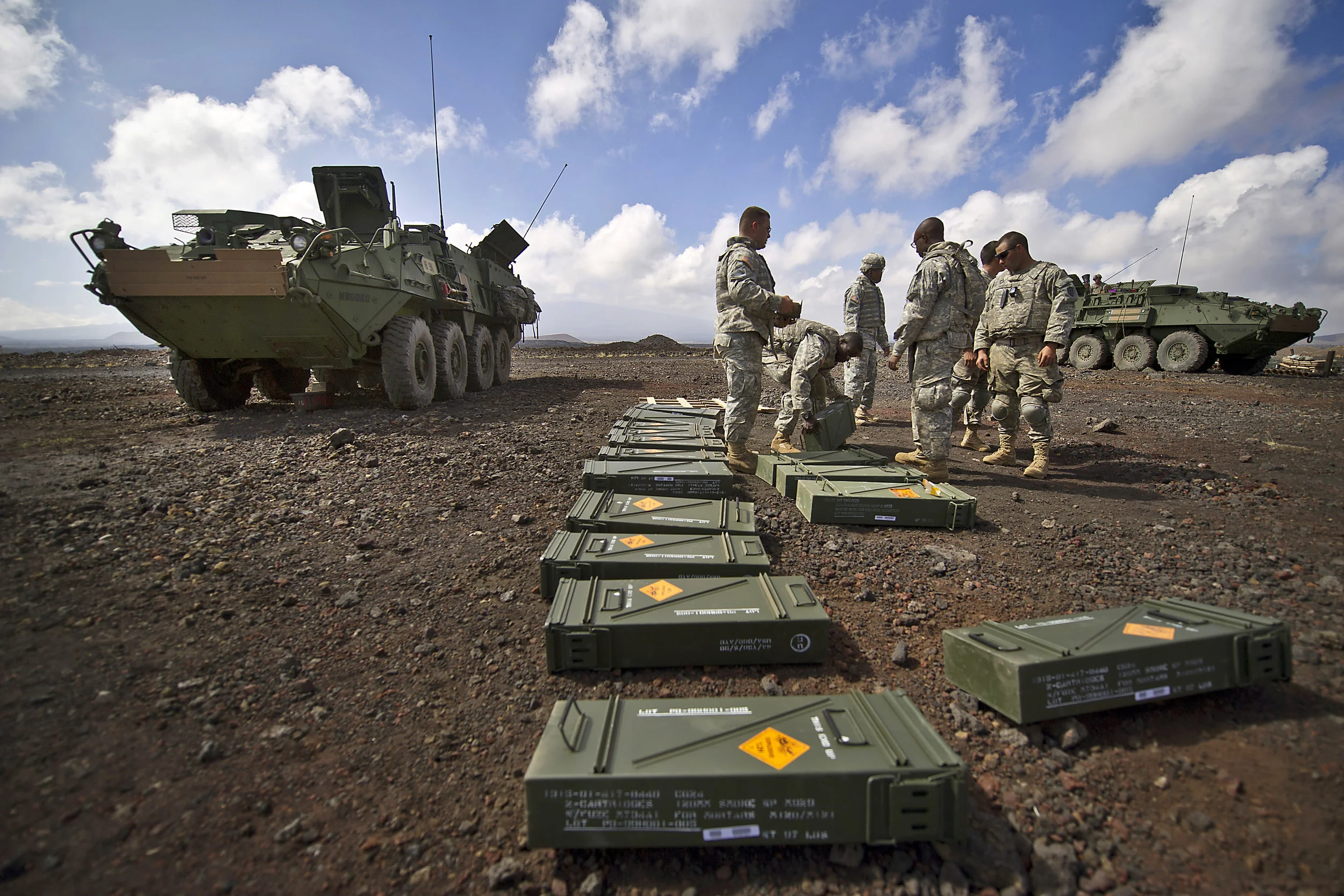
Enabling prototype testing of ultra-lightweight camouflage net systems to protect our troops.
64°58'N, 168°03'W
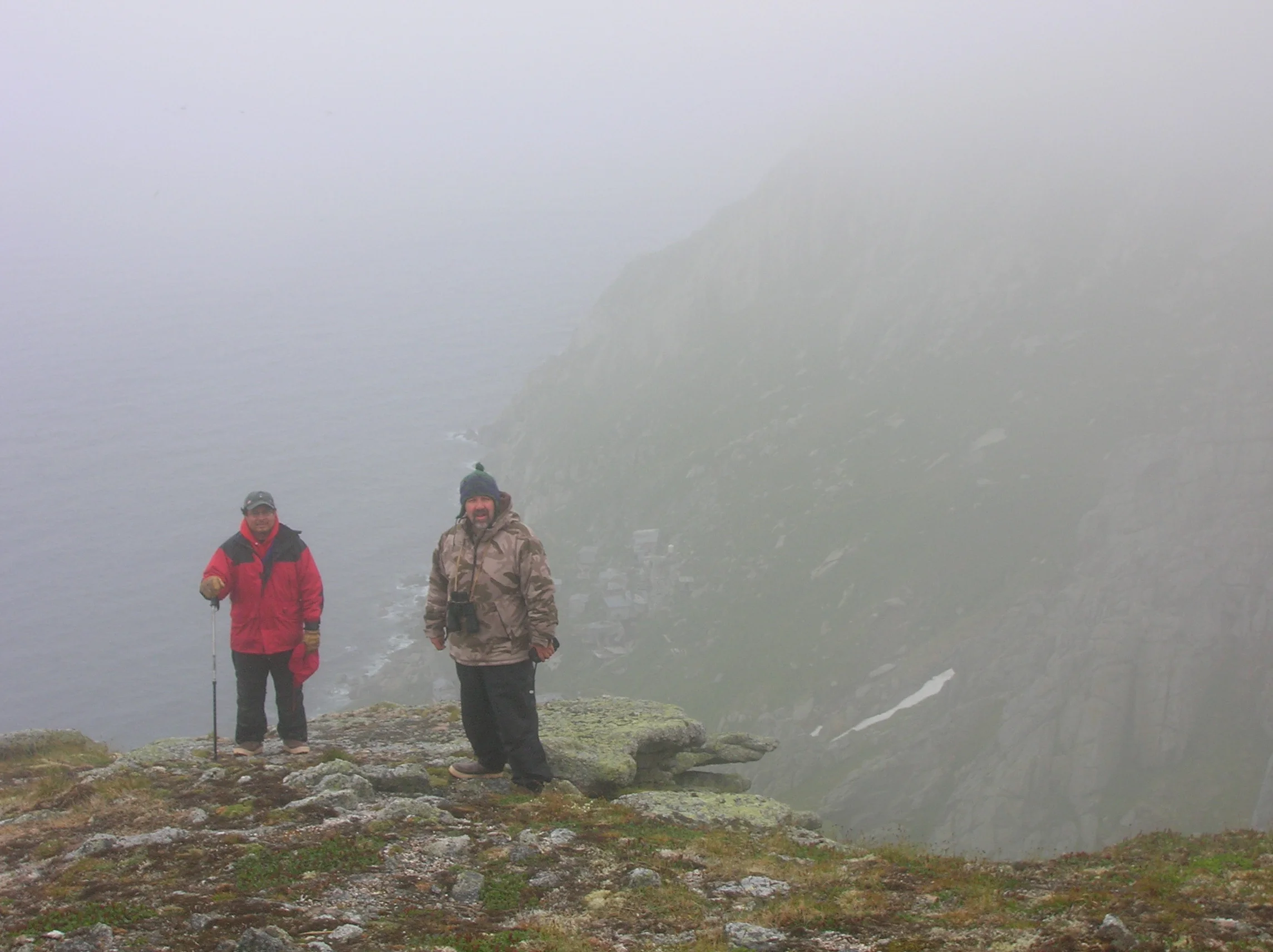
BRINGING TRIBAL ELDERS BACK TO A TINY, JAGGED OUTCROP IN THE MIDDLE OF THE BERING SEA.

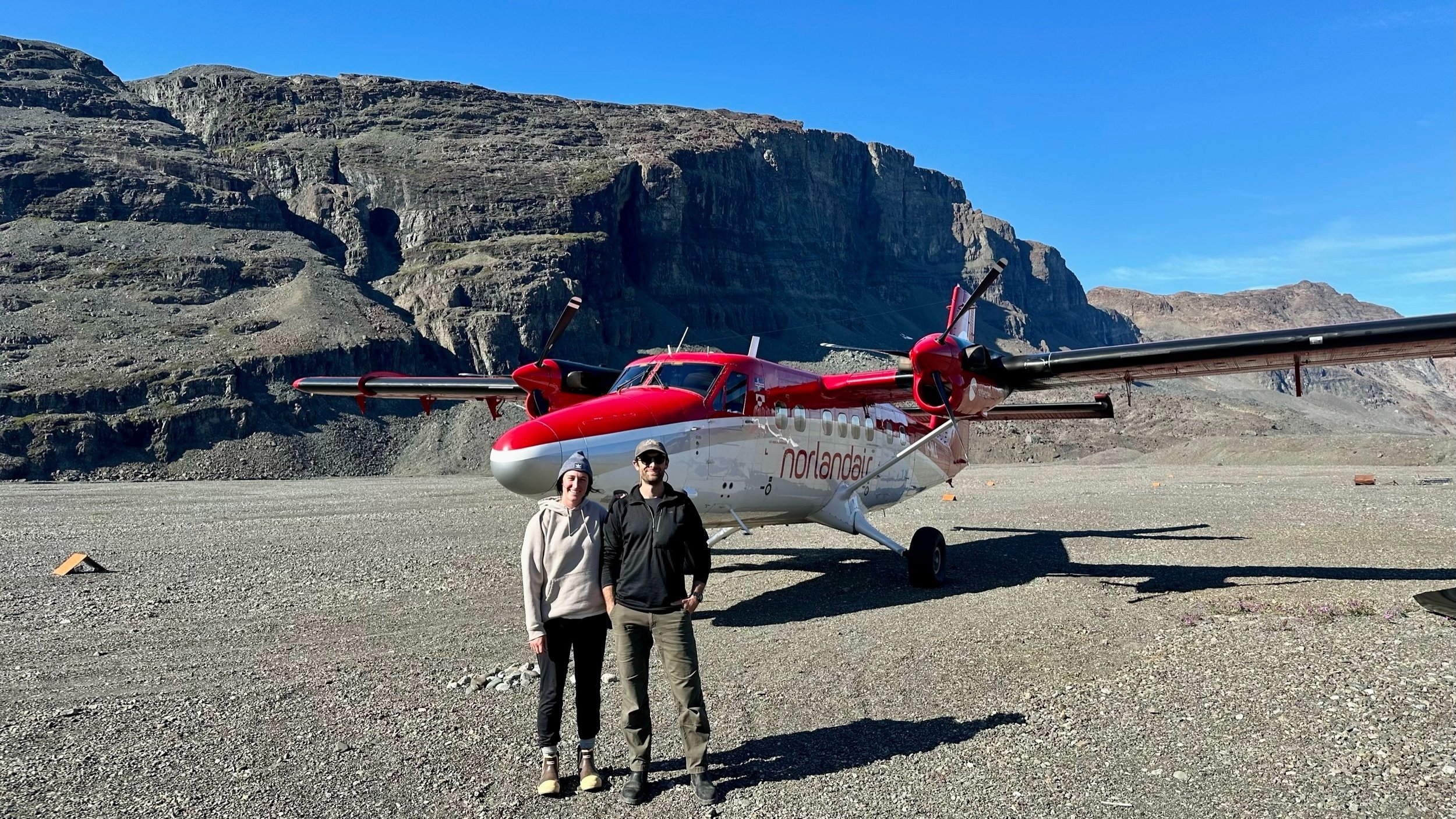
72°35'N, 38°25'W
Traversing invisible crevasses that could put a big hole in your re-supply mission.
19°45'N, 155°32'W