Traversing invisible crevasses that could put a big hole in your re-supply mission.
72°35'N, 38°25'W
Summit Station, Greenland
SERVICES PROVIDED
Frontier Logistics
Project Planning
Equipment Operations
Staffing
They call the Greenland Inland Traverse GrIT, but not just because of the initials. They call it GrIT because that’s exactly what this 1,400 mile resupply mission from Thule Airbase to Summit Station and back takes, plenty of grit.
Sitting on the apex of the Greenland Ice Sheet, Summit Station needs several hundred thousand pounds of supplies to survive year round. Supplies that are far too large or heavy to fly in.
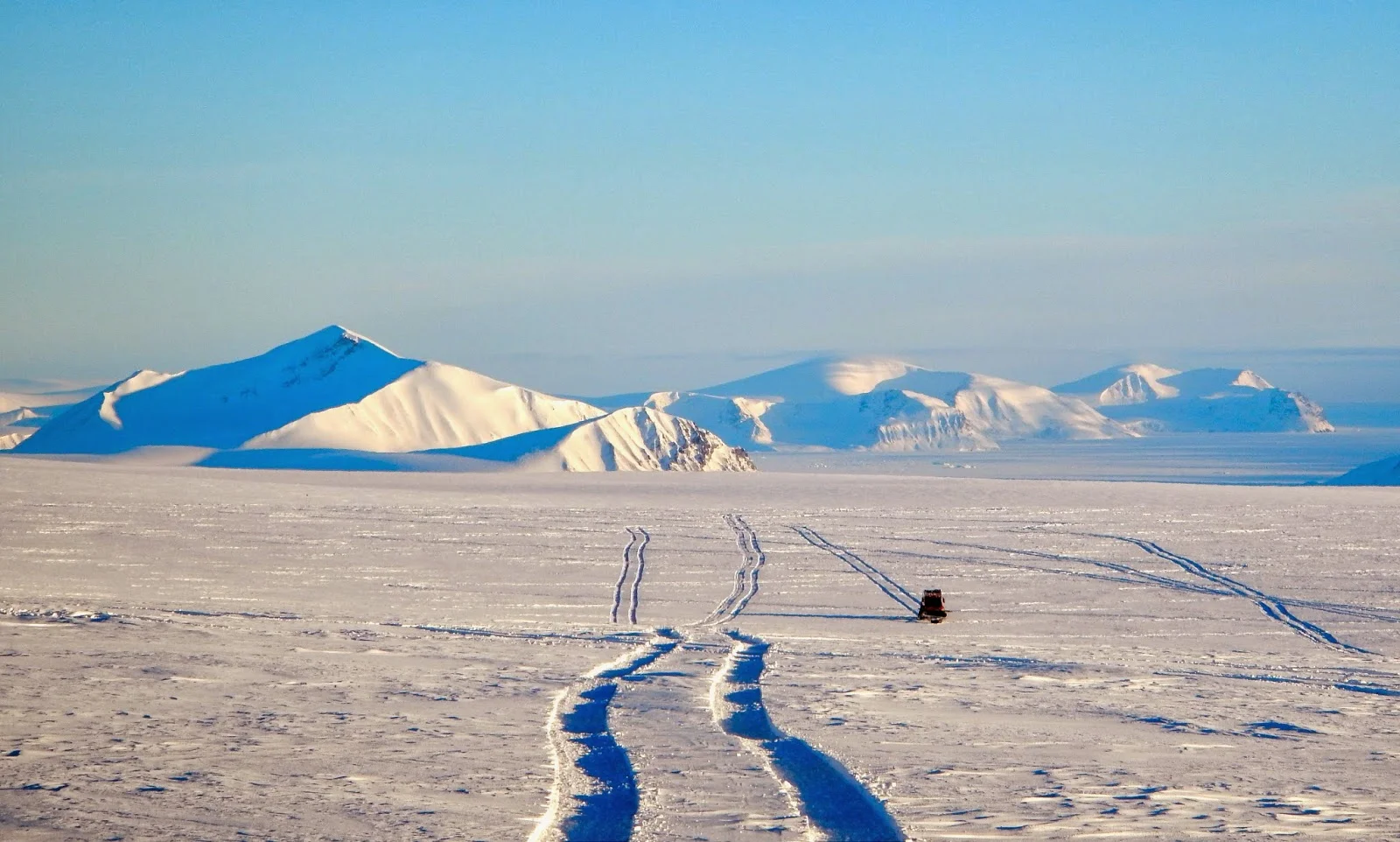
So we drag them across the ice on gigantic sleds. It’s a journey that can only be done in March and April, when it’s still cold enough to run tractors over the ice, but starting to get light enough to see where you’re going. Because hidden under that layer of snow is a heavily crevassed area that changes every year.
“There’s no point to mapping a route because the ice sheet is constantly shifting.”
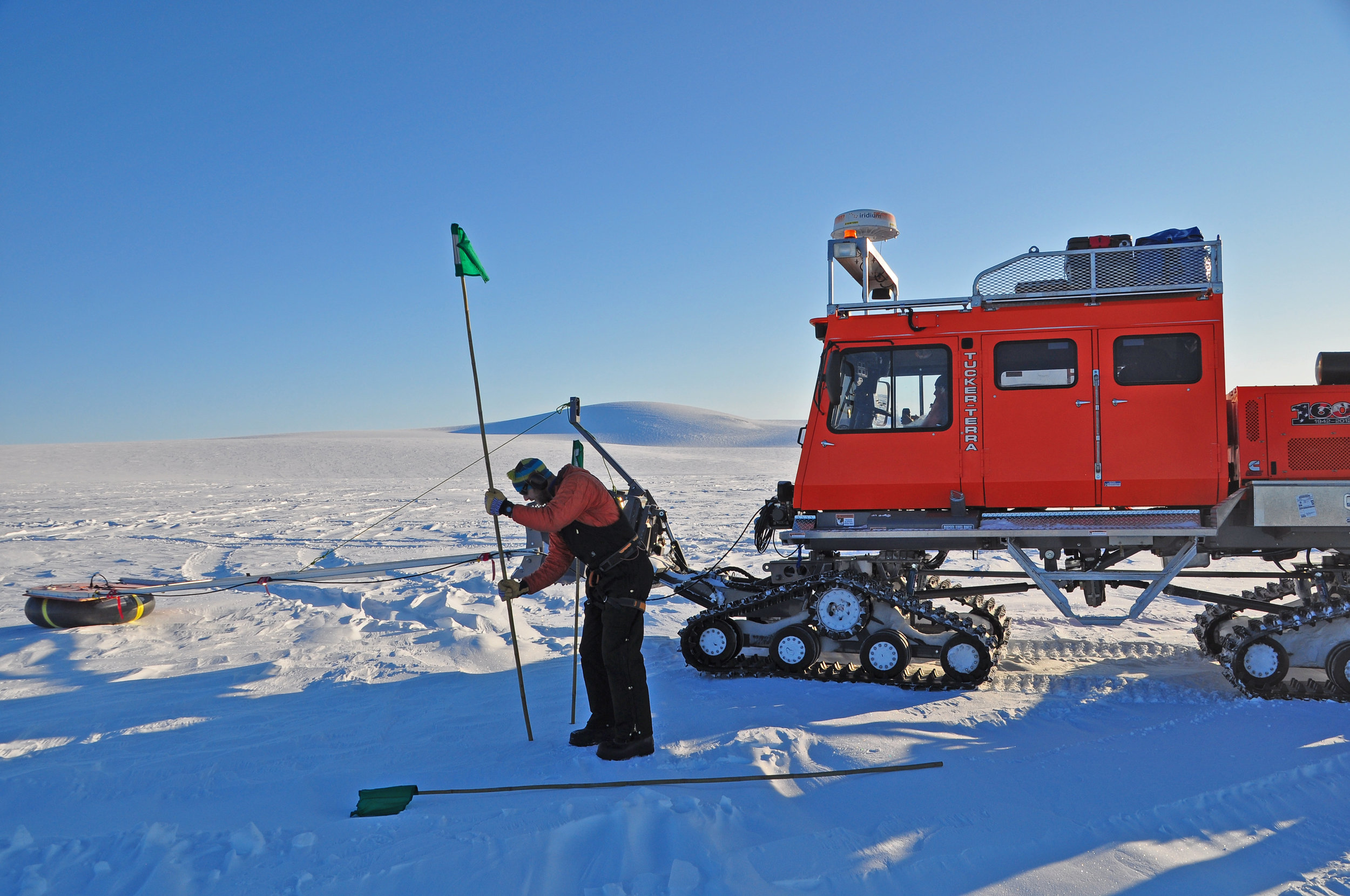
That’s where the ground-penetrating radar you see reaching out from the front of the tractors comes in handy.
You need it to thread your way through, searching for a safe path that's strong enough to support the weight of your tractor and at least 100 feet wide—the width of two vehicles—just in case one breaks down and you have to go around it.
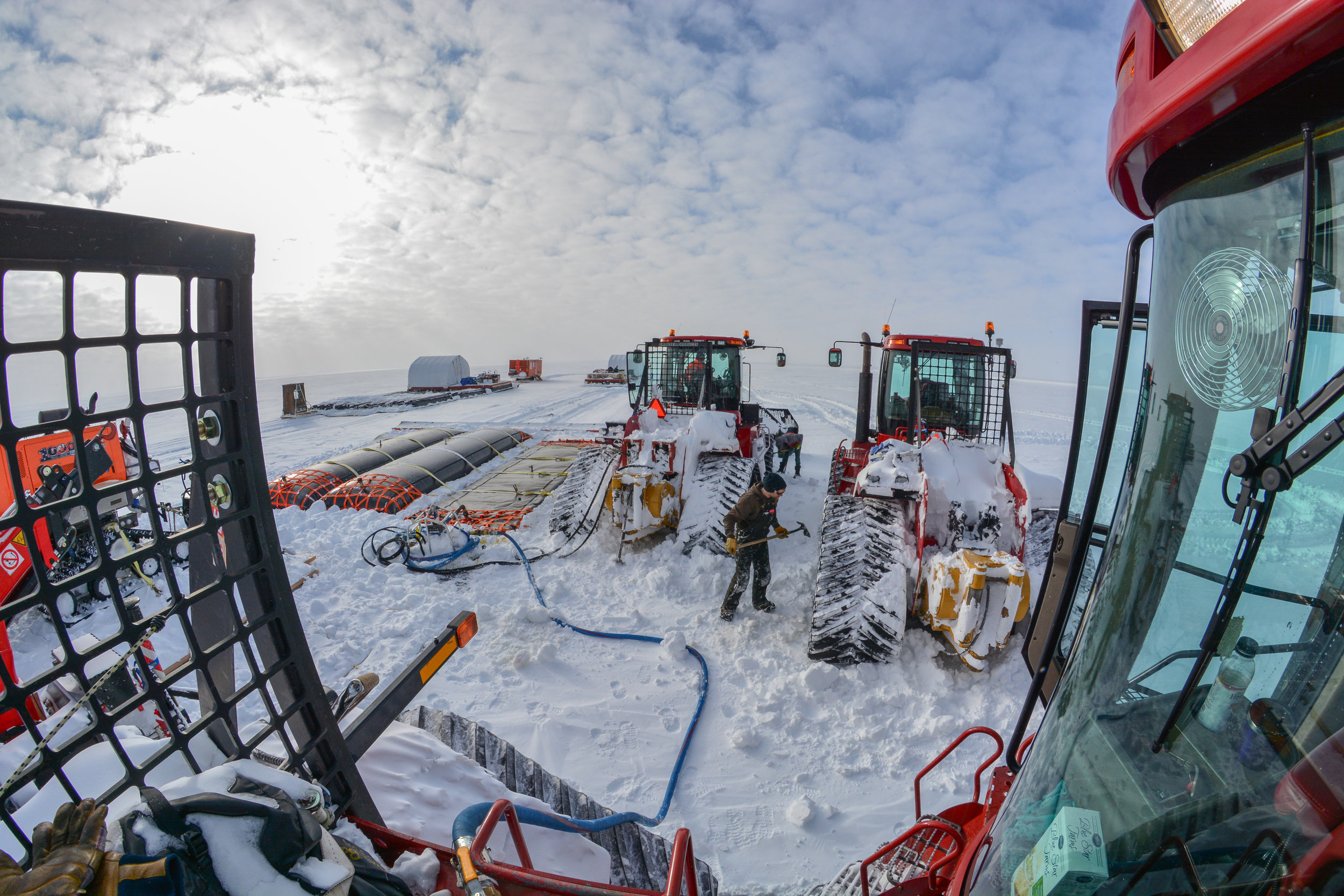
“The weather is always a challenge. It could be minus 35°. So you spend a lot of time chipping ice off the tractors while you refuel them.”
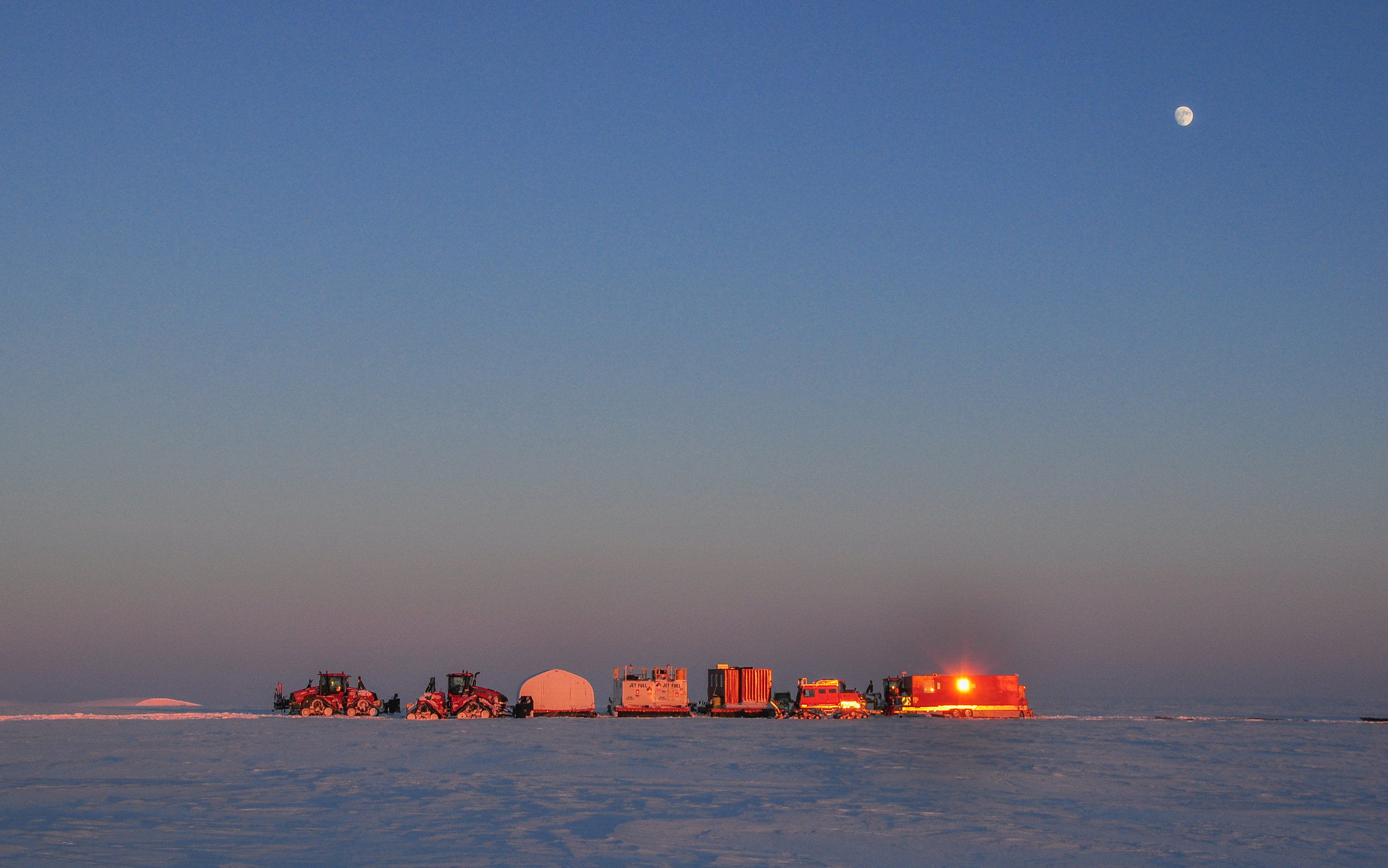
Pulling a 120,000 to 160,000 pound air ridge cargo system limits you to about 7 mph, or around 10 miles a day. So the entire journey takes three months. One to find the best route, one to get there and unload the supplies and another to get back before the spring thaw.
Then you get to start drafting plans to do it all over again next year.


